Today we had two sessions involving maps- Geography and PE.
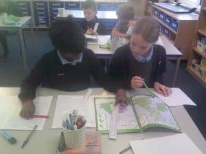
Our Geography lesson focussed on using an atlas to identify relative distances using a scale. We looked at measuring distances between cities for example Bristol and Plymouth and worked out how many km they are from one another. The scale we used was 1cm=50km.
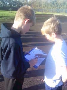
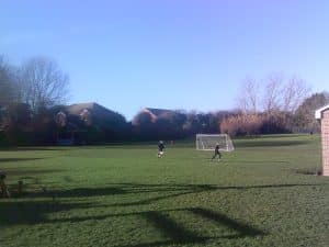
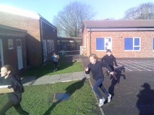
In PE, we used our skills we have been learning over the past few sessions to complete an orienteering course. We looked at the map of the school, identified the check points and planned a route. We worked in pairs to find the check points and identify 10 different numbers. The first team to identify all the numbers from all the check points won.